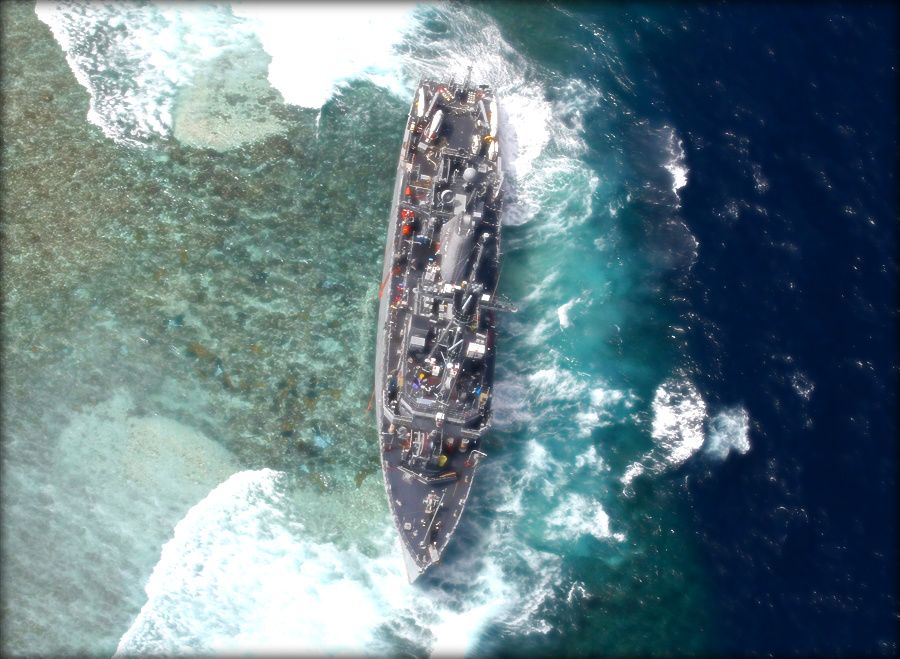
Untold Tale Behind USS Guardian Reef Grounding: NGA’s Map Was Wrong By 8 Miles
Posted on
WASHINGTON: The January grounding of the minesweeper USS Guardian in a Philippine coral reef was caused in large part by a National Geospatial Intelligence Agency (NGA) map that was, quite simply, wrong by eight nautical miles, Breaking Defense has learned. “It really was just a terrible fluke that caused the error,” NGA spokeswoman Christine Phillips said… Keep reading →
Obama’s Cuts To Commercial Space Imagery A ‘Hegemonic’ Mistake
Posted on
At last year’s Geoint conference, Director of National Intelligence Jim Clapper made it clear that a significant amount of the savings needed by the intelligence community over the next five years would come from cutting the budget to buy commercial space imagery. Despite opposition within the National Geospatial Intelligence Agency and quiet panic on the… Keep reading →
White House Orders Commercial Spy Sat Study As Deep Cuts Rumored
Posted on
WASHINGTON: Worried that proposed cuts to the multi-billion commercial satellite imagery budget may be too deep, the White House has ordered a study to determine how much can or should be cut. The study is being led by Roger Mason, associate director for systems and resource analyses in the Office of Director of National Intelligence,… Keep reading →
Intel Cuts Rumored to Be $25 Billion Plus: Industry Fearful, Watchful
Posted on
CORRECTED: We Inflated The Value of Digital Globe’s Most Recent Government Contract San Antonio: You can smell the fear and worry here at the annual Geoint conference. The budget cuts that Director of National Intelligence Jim Clapper outlined yesterday may be as deep as $40 billion over the next 10 years, sources here say. The… Keep reading →

